
“Transforming Earth Observation and geospatial data into actionable intelligence for water, flood resilience and agriculture.”
Earth Observation & Geospatial Analytics
Hydrology & Flood Intelligence
Agriculture & Environmental Intelligence
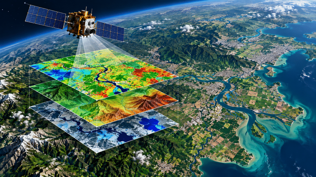
Integrating satellite remote sensing, SAR, GIS and UAV/drone data to monitor land, water and environmental change across multiple spatial and temporal scales.
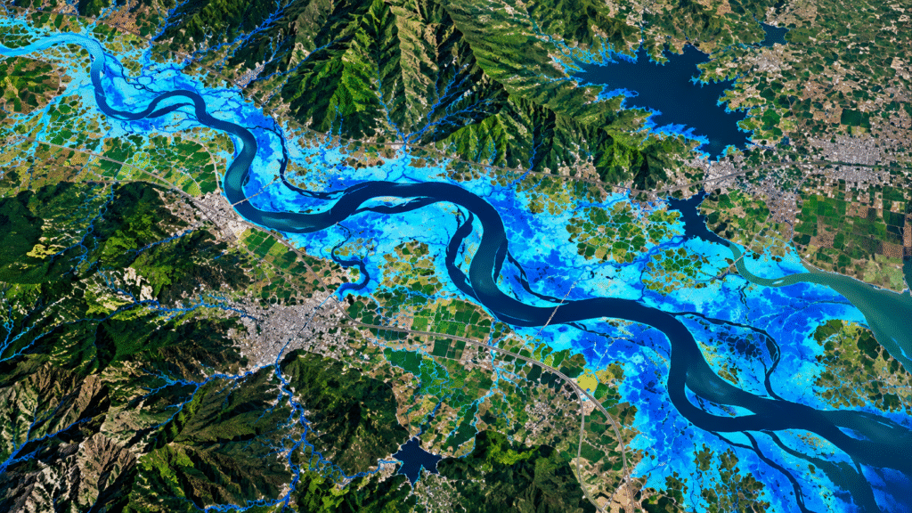
Applying hydrological and hydraulic modelling with terrain, rainfall and Earth Observation data for watershed assessment, flood inundation, drainage and water-resource studies.
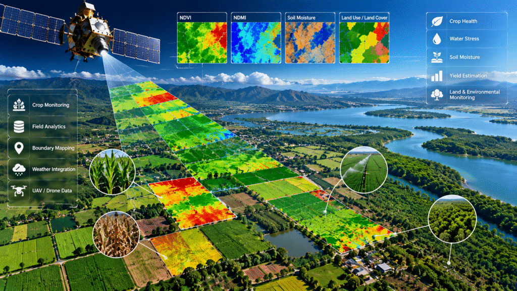
Using satellite and geospatial analytics for crop health, water stress, soil moisture, land monitoring and sustainable management of agricultural and environmental resources.
🌱 Our Journey: From Earth Science to Geospatial Intelligence
“From Ground Reality to Geospatial Intelligence”
From Ground Reality to Data-Driven Decision Making
Rooted in the Landscape of Vidarbha
“Our journey began with a first-hand understanding of land, water, rainfall and agriculture—challenges that ultimately shaped our pursuit of Earth science and geospatial technology.”
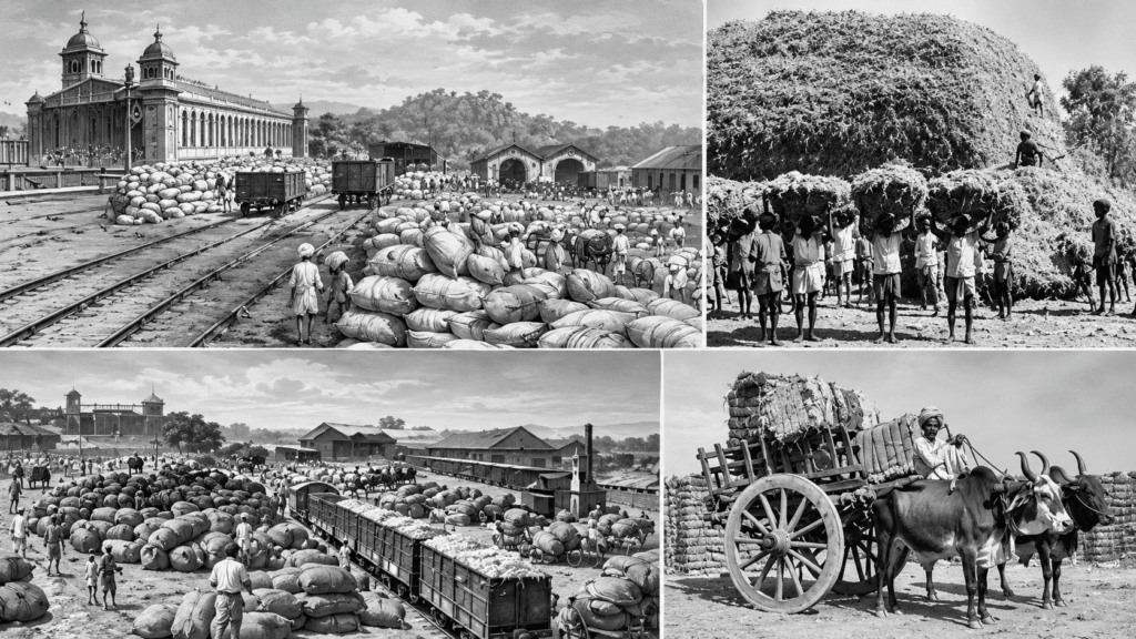
Our roots are connected to the rain-dependent agricultural landscape of Akola in Vidarbha, where generations of our family experienced first-hand how rainfall variability, drought, water availability and changing environmental conditions can affect land and livelihoods.
These experiences created an early understanding of a fundamental reality: better decisions require better information about land, water and the environment.
🚀 From Earth Science to Geospatial Technology
That understanding developed into a professional journey through Geology, Hydrogeology, Environmental Science, Satellite Remote Sensing, GIS, Hydrology and Environmental Assessment.
Over the years, experience across water resources, watershed studies, environmental monitoring, flood assessment and satellite-based analysis demonstrated how Earth Observation and modelling can transform complex environmental data into practical intelligence.
The Evolution of Terraflux
Terraflux Analytics & Modeling was established to bring these disciplines together under one integrated geospatial framework.
Today, Terraflux combines Earth Observation, satellite remote sensing, UAV/drone data, GIS, hydrological and hydraulic modelling, and advanced geospatial analytics to support decision-making across water resources, flood resilience, agriculture and environmental management.

Our objective is simple: transform Earth data into actionable intelligence for real-world decisions.
Our mission is to integrate Earth Observation, satellite remote sensing, GIS, UAV/drone data and advanced modelling to deliver reliable, actionable intelligence for water resources, flood resilience, agriculture and environmental management. We aim to support informed decision-making through science-based geospatial analysis—from individual sites and land parcels to watersheds and regional-scale assessments.
Our vision is to advance the use of Earth Observation and geospatial technology for understanding and managing the interconnected challenges of water, climate, land, agriculture and the environment. Terraflux seeks to make advanced geospatial intelligence more accessible, scalable and useful for governments, industries, institutions, communities and land managers.
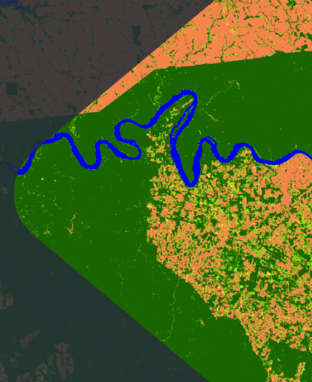
Built on Experience. Driven by Geospatial Innovation.
Terraflux is founded on more than 25 years of professional experience across geology, hydrogeology, environmental science, satellite remote sensing, GIS, hydrology and environmental assessment.
Our work brings together field understanding and advanced geospatial technologies to address real-world challenges—from watershed and groundwater assessment to flood modelling, environmental monitoring, coastal studies and precision agriculture.
This multidisciplinary foundation shapes Terraflux’s approach: combining scientific understanding, Earth Observation, modelling and practical field experience to develop solutions that are technically robust and relevant to real-world decision-making.
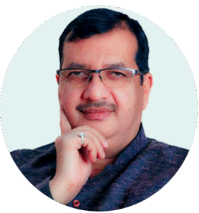
Rajwardhan Bhiwarikar
Founding Director
Expertise Behind Terraflux
Multidisciplinary expertise connecting Earth science, geospatial technology and environmental modelling.
Earth Observation & Geospatial Analytics
Satellite Remote Sensing • GIS • SAR/InSAR • UAV/Drone Analytics • Change Detection • Spatial ModellingHydrology, Flood & Environmental Science
Hydrology • Hydrogeology • Watershed Analysis • Flood Modelling • Environmental Assessment • Coastal Studies