
Terraflux Analytics & Modeling integrates satellite remote sensing, UAV/drone data, GIS and advanced modelling to deliver actionable intelligence for water resources, flood risk and agriculture.
Our solutions combine Earth Observation with hydrological, hydraulic and agricultural analytics to support informed decision-making—from watershed and flood assessment to field-level crop and water monitoring.
Our Solutions
Integrated Geospatial Intelligence for Water, Flood & Agriculture
From watershed and flood assessment to field-level crop monitoring, Terraflux delivers geospatial solutions for informed and data-driven decision-making.
Hydrology & Watershed Intelligence
Watershed delineation • Drainage analysis • Rainfall–runoff modelling • Water resource assessment • Hydrological modelling
Flood Risk & Inundation Analytics
Flood inundation modelling • Flood depth & hazard mapping • Urban/stormwater flood assessment • Satellite flood monitoring • Climate and extreme-rainfall analysis
Precision Agriculture & Crop Intelligence
Crop growth & health monitoring • NDVI/EVI analytics • Water stress • Crop water requirement • Flood impact on crops • Seasonal monitoring
Our Solutions
→ Hydrology & Watershed Intelligence
→ Flood Risk & Inundation Analytics
→ Precision Agriculture & Crop Intelligence

Satellite Imagery Analysis

Drone Field Surveys

Yield & Insurance Insights
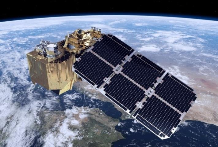
Terraflux combines Earth Observation, satellite remote sensing, UAV/drone data, GIS and advanced modelling to deliver actionable intelligence across water resources, flood risk and agriculture. Our solutions support projects ranging from individual land parcels to large watersheds and regional assessments.
Hydrology & Water
✓ Watershed Analysis
✓ Rainfall–Runoff Modelling
✓ Water Resource Assessment.
Flood Intelligence
✓ Flood Inundation Modelling
✓ Flood Hazard & Risk Mapping
✓ Satellite Flood Monitoring
Agriculture Intelligence
✓ Crop Health Monitoring
✓ Water Stress & Soil Moisture
✓ Crop Water Requirement.
WHY TERRAFLUX ?
Geospatial Intelligence Built for Real-World Decisions
✓ 25+ Years of Geospatial & Environmental Expertise
✓ Integrated Satellite, UAV, GIS & Modelling Approach
✓ Hydrology, Flood & Agriculture Expertise
✓ Project-Based & Parcel-Based Solutions
✓ Scalable from Local Sites to Regional Studies
✓ Interactive Maps, Analytics & Technical Reports
From individual land parcels to complex watersheds, Terraflux transforms geospatial and environmental data into practical intelligence for better planning, monitoring and decision-making.
